Client
Manawatū-Whanganui Emergency Management group
Services
Design
Web Development
Hosting
Umbraco CMS
Visit
The Manawatū-Whanganui region faces significant natural hazard exposure flooding, earthquakes, volcanic activity, tsunami, and drought across seven geographically diverse districts and a large rural population.
There was a clear gap identified, the Manawatū-Whanganui Civil Defence Emergency Management (MWCDEM) Group needed a digital platform capable of serving a broad public: urban residents, rural and farming communities, schools, marae, and workplaces, each with different levels of digital literacy and different preparedness needs. The brief was clear: reduce barriers to emergency readiness across a large and geographically diverse region by making critical, locally relevant information accessible and actionable before a crisis occurs. At the same time, the platform needed the flexibility to rapidly shift from preparedness to response during an emergency event.
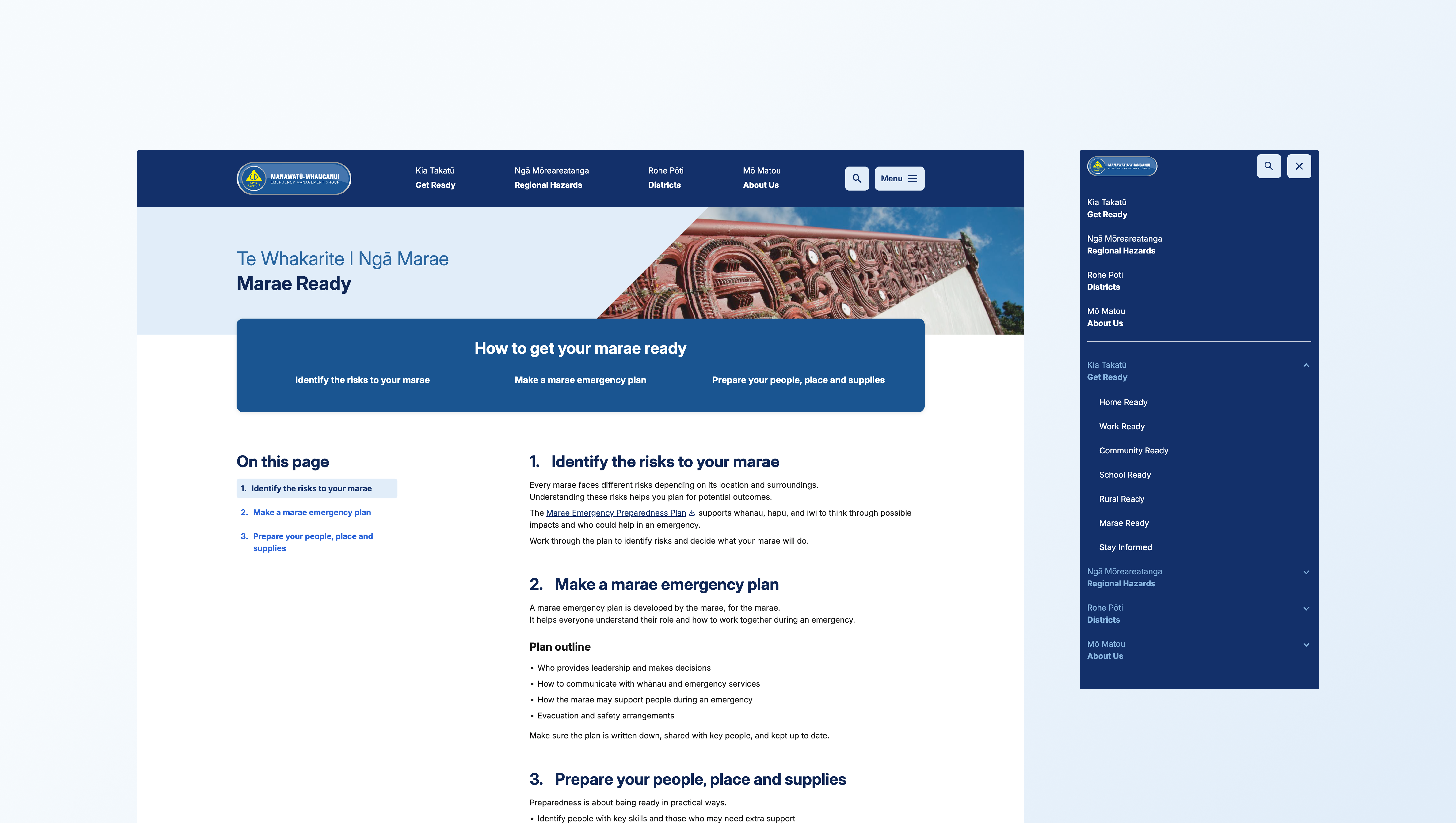
The strategy centred on audience segmentation done simply. Rather than presenting one undifferentiated block of information, the site organises preparedness guidance by context. Home Ready, Work Ready, School Ready, Rural Ready, Marae Ready, reflecting how people think about their own lives and responsibilities. A farming family in Rangitīkei and a workplace manager in Palmerston North face different risks and need different guidance; the site's architecture acknowledges this without adding complexity for the user.
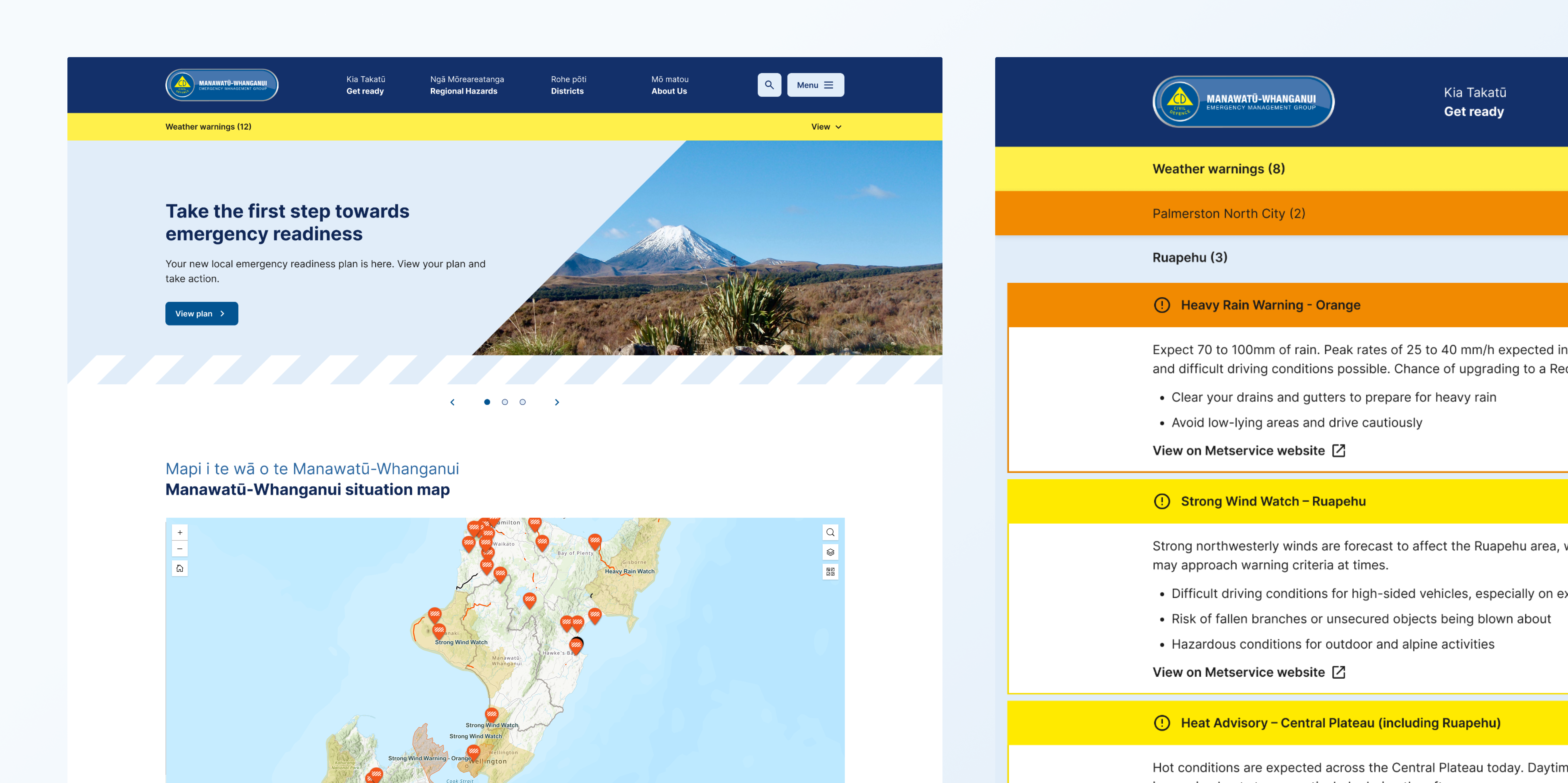
Layered on top is a district-level lens, letting users access hazard and preparedness information specific to their part of the region. An integrated live situation map pulls in MetService alerts, NZTA updates, essential services, and tsunami evacuation zones, transforming a static information resource into a dynamic emergency tool.
The approach draws on Effect's accumulated expertise across 9 emergency management groups throughout New Zealand, incorporating information architecture and UX patterns that are sector-tested and proven to perform under high-load emergency conditions.
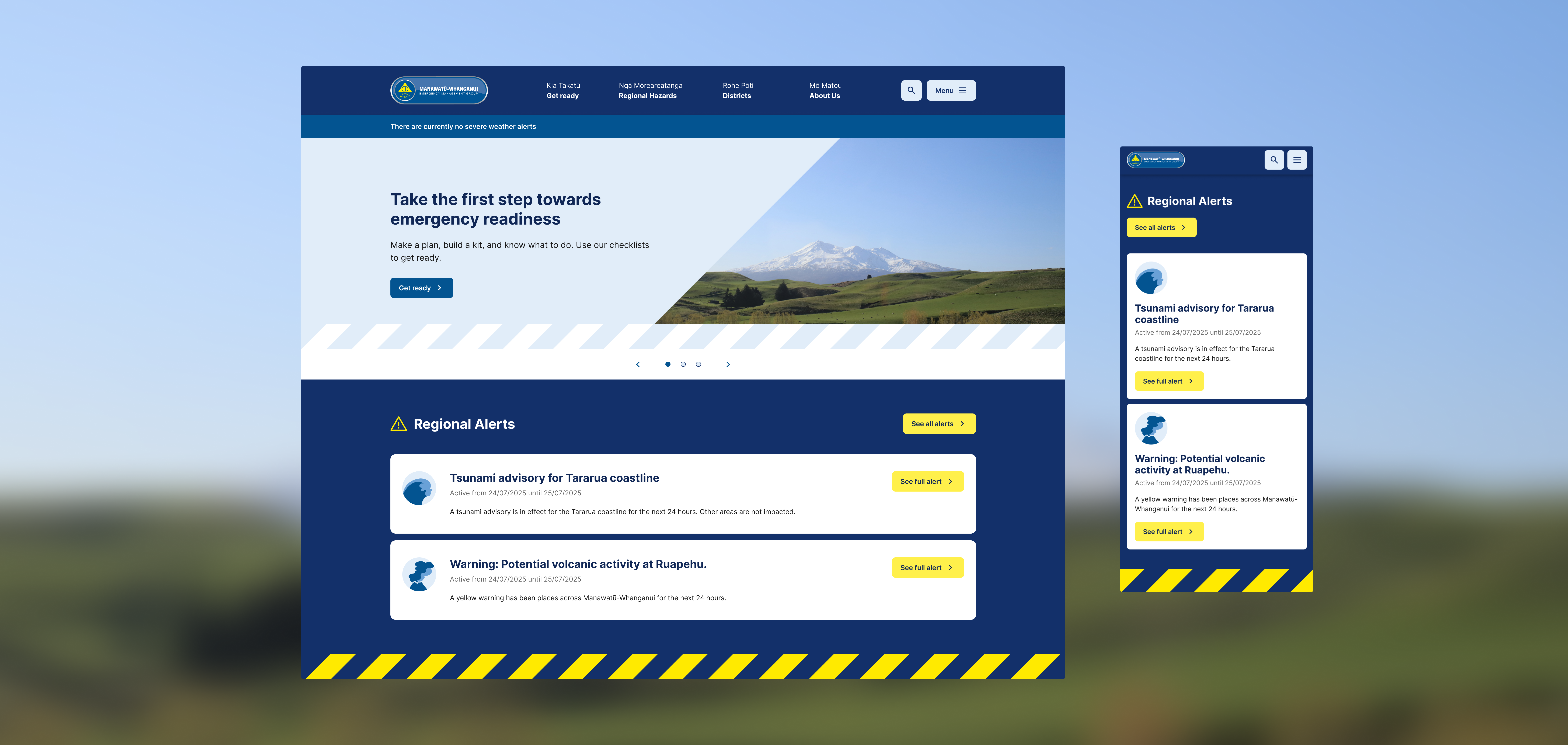
The new Manawatū-Whanganui Emergency Management site launched in early January 2026 and has been performing exceptionally well during region wide alerts and emergency responses since then.
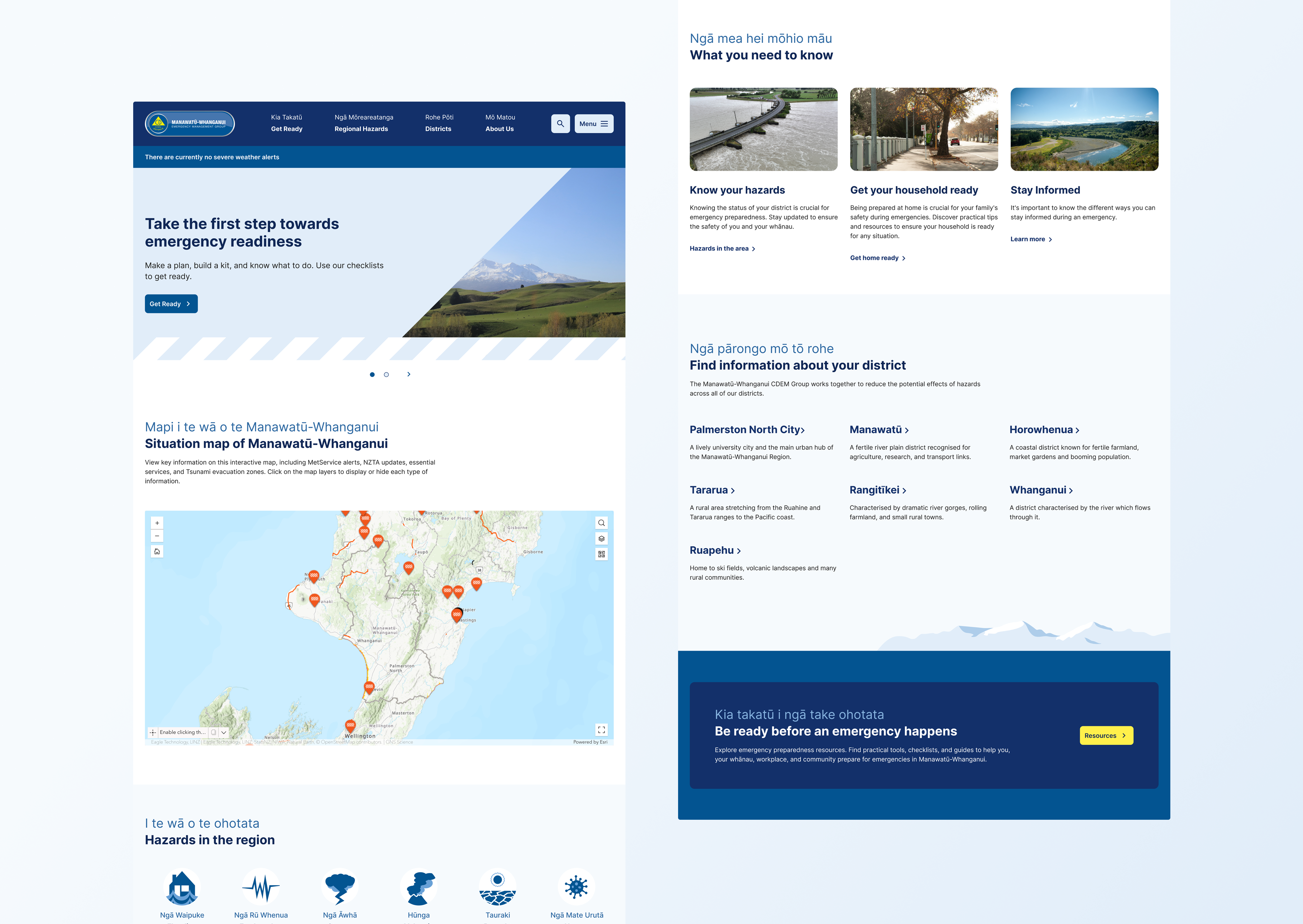
The design prioritises clarity, trust, and accessibility qualities essential for a site that may be consulted under stress, on a mobile device, in low-light conditions, or on a slow connection. Navigation is structured and predictable, with key headings translated into te reo Māori throughout the site. The homepage leads with current alert status and an immediate call to action, so returning users can orient instantly.
Typography and layout are high-contrast and restrained, with a mobile-first approach ensuring usability across devices. Hazard pages follow a consistent structure so users familiar with one can navigate others without relearning. The integrated ArcGIS situation map is embedded seamlessly rather than redirected, keeping users within a coherent experience.
The Impact
The site consolidates emergency preparedness information for approximately 250,000 people across seven districts into a single, coherent platform. The inclusion of a Marae Ready section extends the site's reach to communities that government digital services often underserve, recognising marae as community hubs and potential emergency gathering points.
Built on Effect's proven templated emergency management framework deployed across multiple CDEM groups nationally so the site benefits from shared learnings, cross-group consistency, and infrastructure designed to remain accessible when it matters most.